Home > Insights > IT Business
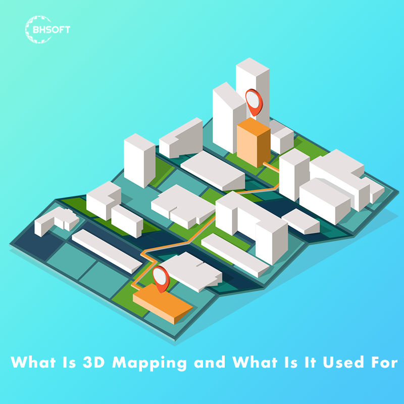
What Is 3D Mapping And What Is It Used For
5 minutes read
Audio description available
November 10, 2023
In the realm of cutting-edge technology, alongside Machine Learning solutions, 3D mapping is emerging as a captivating and versatile innovation. In this article, we'll delve into the world of three-dimension mapping, exploring its definition, applications, types, and the diverse domains where it finds utility. Check it out to unravel the remarkable technology that allows us to perceive the world from a fresh perspective.

What Is 3D Mapping?
3D mapping is a technology that utilizes spatial mapping to generate 3D representations of objects, surfaces, and environments. The method entails capturing and analyzing images and data through diverse sensors, software, and methodologies, yielding a precise, intricate, and lifelike 3D representation of the specified area applicable across various industries.
This technology employs various methods to create these detailed representations, with 3 common techniques:
- Light Detection and Ranging (LiDAR): LiDAR is a technique that uses laser beams to measure distances and generate precise 3D models. It finds applications in topography, forestry, and autonomous vehicles.
- Photogrammetry: By stitching together overlapping photographs, photogrammetric mapping creates 3D models. It is commonly used in agriculture, archaeology, and environmental monitoring.
- Structured light systems: This technique entails projecting a light pattern onto an object and analyzing the distortion of the pattern to generate a 3D model. They are employed in industrial applications, such as quality control and manufacturing.
Benefits Of 3D Mapping Over 2D Maner
Advancements in technology have ushered in a new era of spatial representation, with three-dimension mapping emerging as a transformative force over traditional 2D technology. It is extending across various industries, revolutionizing the way we perceive and interact with spatial data. Here are the most significant benefits of it over 2D technology:
More Realistic And Immersive Representation
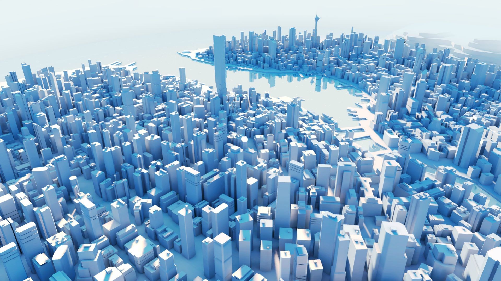
Unlike 2D maps, which offer a flat and limited perspective, three-dimension mapping adds depth and dimension, offering a true-to-life visualization. This enhanced visual experience is particularly valuable in fields such as urban planning, architecture, and virtual simulations.
Enhances Spatial Analysis And Decision-Making
The 3D adds layers of information, allowing for a more comprehensive understanding of geographical features and topography. This proves invaluable in disaster management, infrastructure planning, and environmental monitoring.
Accurate Navigation And Wayfinding
Whether it's in urban spaces, indoor environments, or virtual worlds, the added depth perception aids in better orientation and route planning. This is evident in applications like GPS navigation systems, where 3D maps provide users with a more intuitive sense of direction.

Types Of Mapping Services
3D mapping services play a pivotal role in delivering substantial benefits to both businesses and individuals. Let's explore three primary types of three-dimensional mapping, shedding light on where precise and detailed three-dimension mapping finds its applications.
3D Projection Mapping
This unique 3D variant, also known as video mapping, delivers an awe-inspiring visual experience. It enables captivating displays on diverse surfaces and objects, making it ideal for marketing, advertising, entertainment, and artistic endeavors. Businesses, educators, and artists find value in utilizing 3D projectors to craft engaging interactive presentations. Pricing for 3D projection mapping projectors varies based on factors such as brand, model, resolution, and brightness, spanning from a few thousand to tens of thousands of dollars.
3D GIS Mapping
Involving the creation and manipulation of 3D digital models of geographic features, landscapes, and objects, 3D GIS mapping offers a more immersive and realistic environmental representation. Specialized software tools enhance their applicability across various industries, proving valuable in urban planning, environmental modeling, infrastructure development, and disaster management.
Drone 3D Mapping
The process of generating three-dimensional maps utilizing drones equipped with cameras and sensors. Applied extensively in land surveying, urban planning, agriculture, mining, and environmental monitoring, 3D drone mapping provides a comprehensive aerial perspective. DJI 3D mapping specifically refers to the creation of three-dimensional maps using DJI drones and dedicated software solutions.
What Is 3D Mapping Used For?
The applications of this technology are vast and diverse, ranging from urban planning to entertainment. Here are some notable applications:
- Urban Planning: assisting city planners in visualizing and optimizing urban spaces, from infrastructure development to zoning plans.
- Environmental Monitoring: aiding in monitoring changes in landscapes, studying ecosystems, and managing natural resources.
- Archaeology: Unearthing the past, helping archaeologists document and analyze excavation sites in intricate detail.
- Healthcare: advancements in medical science, providing detailed models for education and diagnosis.
- Agriculture: enables precision farming practices, enhanced productivity, and resource efficiency.
- Entertainment and Gaming: creating realistic virtual environments in movies, video games, and simulations.
Read also: GIS in urban planning: Benefits, applications and UsesIndustries 3D Mapping Serve
The versatility of 3D mapping extends its reach across various domains:
- Construction and Architecture: Architects and construction professionals utilize this technology to visualize projects, detect potential issues, and enhance collaboration.
- Precision Agriculture: In agriculture, this technology aids in crop monitoring, soil analysis, and resource optimization, leading to more efficient farming practices.
- Autonomous Vehicles: LiDAR-based 3D mapping plays a crucial role in enabling self-driving cars and drones to navigate their surroundings with precision.
- Tourism: It enhances the tourist experience, and allows for immersive virtual tours of historical sites, landmarks, and cultural destinations.
- Emergency Response: During disasters, it assists emergency responders by providing real-time information about affected areas, aiding in planning and resource allocation.
- Real Estate: showcase properties in a more engaging and realistic manner, facilitating better decision-making for potential buyers.
Top-Tier Mapping Services By BHSoft
BHSoft is the top software company in Vietnam, specializing in providing cutting-edge digital mapping solutions. At BHSoft, we offer you:
2D & 3D digital mapping services
BHSoft excels in providing high-resolution 2D & 3D digital mapping services, utilizing state-of-the-art technologies like Cesium and Mapbox. Tailored to various industries, our solutions craft intricate digital maps and models, ensuring comprehensive spatial solutions.
3D models and visualizations
As the leading 3D mapping service provider in Vietnam, BHSoft specializes in delivering precise and detailed spatial data. Our focus on precision, detail, and innovation supports building maintenance and plant management, setting a benchmark in 3D modeling services.
Web map app development
BHSoft's expertise extends to custom mapping solutions for websites, applications, and data visualizations. Crafting visually captivating maps that seamlessly transcend devices and browsers, our approach integrates ReactJS and VueJS for the frontend, while harnessing the robust capabilities of NodeJS and Python for the backend. With a focus on location-based data visualization, we emerge as a top choice for web map development.
Leveraging our 3D ampping services offers a multitude of benefits, including the visualization of complex geospatial data, accurate decision-making, collaborations with industry professionals, and more. Seize the opportunity to address your unique business needs with BHSoft's data-driven maps. Don't wait—transform your spatial data experience today.

