Quynh Ngoc Pham
Content Manager
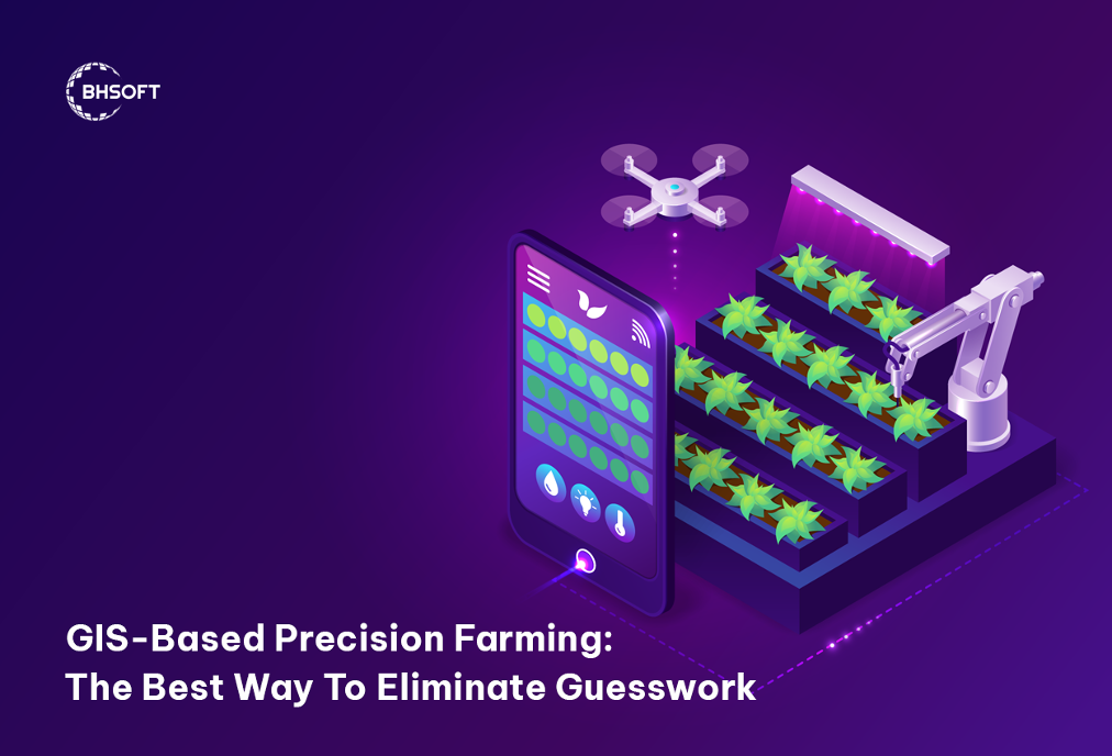
GIS-Based Precision Farming: The Best Way To Eliminate Guesswork
5 minutes read
Audio description available
May 15, 2023
Precision agriculture is a modern approach combining innovative technologies with traditional farming practices. GIS (Geographic Information System) plays a vital role among these technologies. In this article, you will discover how GIS-based precision farming can help eliminate guesswork in agriculture.
What is GIS-based precision farming?
Precision agriculture (PA) is a modern farming approach that uses advanced sensors and analysis tools to improve crop yields and make better management decisions. It is a recent practice that is being widely adopted around the world to increase production, reduce labor requirements, and effectively manage fertilizers and irrigation processes.
GIS-based precision farming is an important part of GIS in agriculture. This is a modern agricultural approach that uses GIS technology to collect and analyze data on various factors that affect crop yields, such as soil type, topography, weather patterns, and more.
Precision farming, powered by GIS, helps farmers to make informed decisions and take actions that maximize yields while reducing their environmental footprint.
How does GIS-enabled precision farming eliminate guesswork?
In agriculture, guesswork refers to the practice of making decisions based on intuition or incomplete information rather than data-driven methods. It can lead to inefficiencies, waste, and lower yields. Farmers who rely on guesswork may be unable to accurately assess factors such as soil conditions, nutrient requirements, water requirements, or pest management, resulting in suboptimal results.
GIS-based precision farming arose to address these issues. It integrates a range of technologies and tools, including GPS, satellite imagery, drones, weather data, and soil sensors, to collect and analyze data on various factors that affect crop yields.
GPS
GPS-based technology helps farmers organize their farms, map fields, conduct soil tests, guide tractors, scout crops, and map yields. GPS technology allows farmers to work in low visibility ground conditions like rain, dust, and fog, which can help maximize farm productivity.
By combining GPS and GIS technology, farmers can gather essential land and water usage data to improve their farming practices. They can also achieve greater gains in productivity and efficiency by optimizing their use of fertilizer and organic manure, calculating economic thresholds for managing pest and weed infestations, and preserving resources.
Remote Sensing
GIS uses remote sensing techniques to gather data on soil moisture, vegetation health, and other relevant variables. This technology involves the use of satellites, drones, and other aerial platforms to capture data on these variables.
Once the data is collected, GIS software is used to create detailed maps that provide farmers with valuable information on the current state of their crops and soil. These maps help farmers identify areas within their fields that require attention, such as irrigation or fertilization.
Soil Analysis
GIS technology can create detailed soil maps that provide information on soil type, nutrient levels, and other variables. This allows farmers to create customized management plans for each area of the field, optimizing crop yield and reducing resource waste.
Soil mapping using GIS can also help identify areas prone to erosion or contamination, allowing for proactive soil conservation measures. By being aware of irrigation issues and other soil problems, farmers can improve their long-term production strategy and prevent damage to their crops.
Weather forecasting
GIS integrates with weather forecasting models that provide accurate and up-to-date weather information to farmers. These models take into account various weather variables such as precipitation, temperature, humidity, wind speed, and direction, among others.
By using these weather forecasting models, farmers can make informed decisions about planting and harvesting schedules, as well as irrigation and pest management strategies, based on the anticipated weather patterns. Moreover, it can provide farmers with information on potential weather-related risks, such as droughts, floods, or storms, allowing them to take proactive measures to minimize crop damage and losses.
4 GIS-based precision farming applications to eliminate guesswork
Yield Monitoring
GIS-based yield monitoring systems can provide accurate information on crop yields at various locations in a field. By tracking yield variability, farmers can adjust management practices to improve yields and eliminate guesswork about which locations of the field have different yields and require different management strategies.
Predictive Analysis
GIS technology can be used to analyze historical data to predict future crop yields and identify patterns of pests and diseases. This helps farmers make informed decisions about crop rotation, crop selection, and pest management, reducing the guesswork of which crop to plant in a specific field and when to manage pests and diseases.
Flooding, erosion, and drought controlling
Combining GIS and agriculture can help prevent, assess, and mitigate the negative impact of destructive natural phenomena.
Identify flood-prone areas by utilizing flood inventory mapping techniques that collect data from various sources such as past floods, field surveys, and satellite images. This data can be used to create a dataset to train a neural network to spot and map flood risks. By doing so, farmers can create a powerful disaster management tool.
GIS mapping
The future of farming involves machines like seeding machines, irrigation systems, harvesters, and weed removal robots. Instead of equipping each machine with sensors, farmers can connect them to an integrated GIS system. GIS technology creates precise maps with important crop information called "task or application maps. Smart machines can use these maps to carry out tasks in the field.
Conclusion
In sum, GIS-based precision farming represents a transformative approach that harnesses the power of technology to revolutionize agriculture. It holds great promise in addressing the global challenges of food security, sustainability, and resource management. By embracing GIS-based precision farming, we can create a more efficient, sustainable, and resilient agricultural sector that meets the needs of a growing population while preserving our natural resources.
BHSoft is the leading software development company in Vietnam, specializing in providing exceptional GIS software solutions. With our comprehensive range of services, we offer
As proud Cesium Certified Developers, we are committed to assisting our clients and partners in achieving remarkable business objectives.
We welcome your ideas and encourage you to share them with us. Our team of skilled developers will create customized, high-quality software solutions to meet your specific needs.
Contact BHSoft today to receive expert consultancy from our GIS engineers and discover how GIS technologies can be effectively applied to your business requirements.