Tunnel Construction Management System
Improving project control and operational efficiency
Tunnel Construction Management System
Improving project control and operational efficiency
JavaScript
JQuery
Bootstrap 3
HTML5
GeoServer
Tomcat
IIS
C#
ASP.Net
Open Layer 3
OpenStreetMap
PostgreSQL
PostGIS
Overview
A Map-Centric Platform For Infrastructure Management
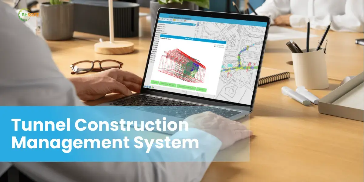
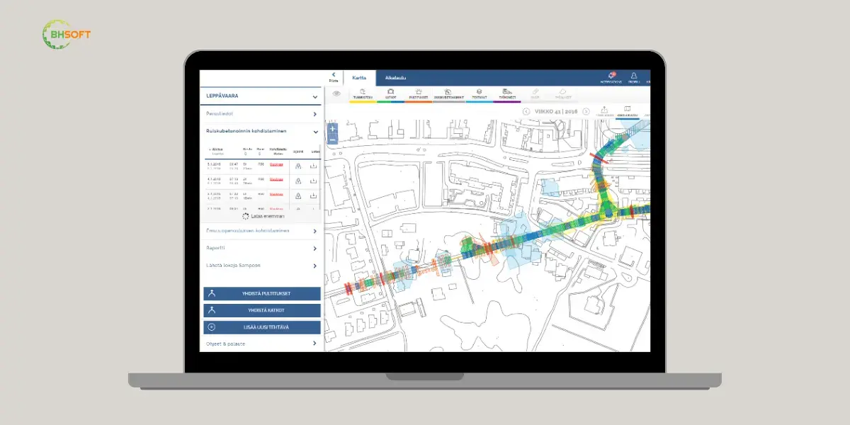
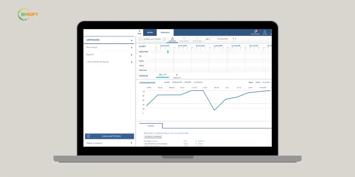
BHSoft developed a system designed to support inspectors, supervisors, contractors, and project stakeholders in managing tunnel construction activities throughout the project lifecycle. It centralizes task management, document control, asset monitoring, and project coordination while providing real-time visibility into construction operations.
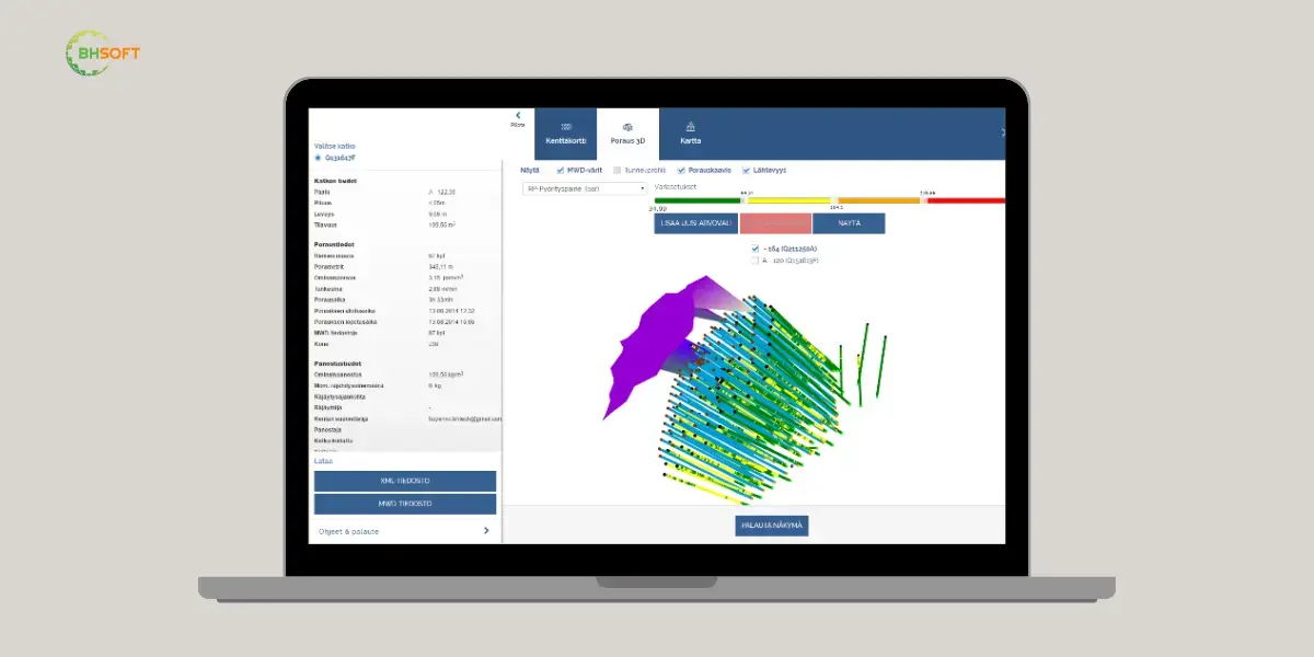
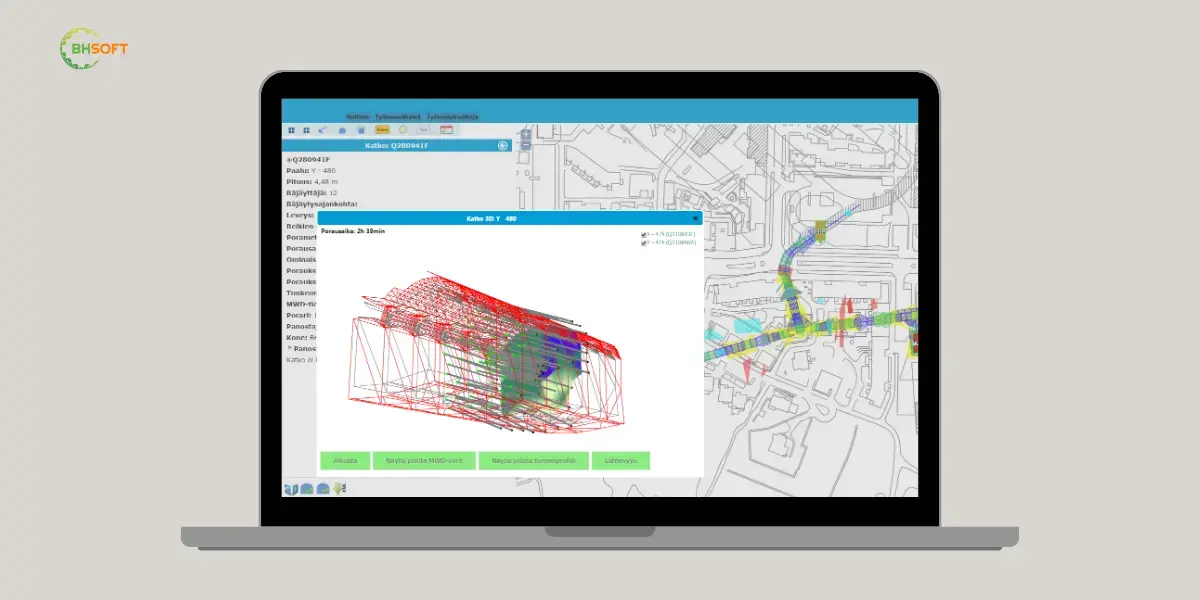
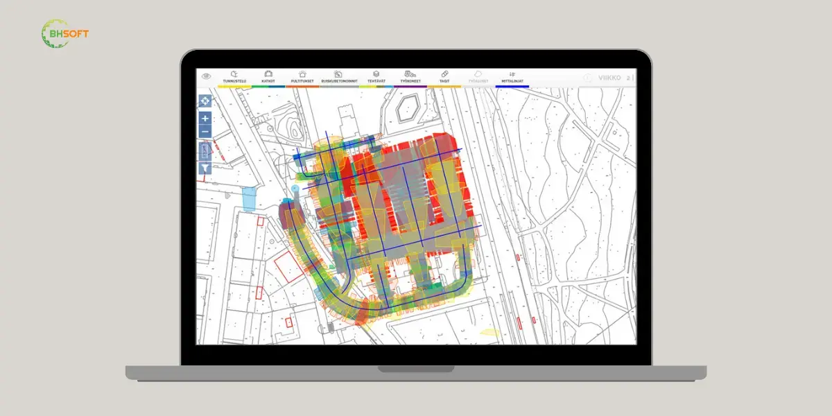
Built for complex infrastructure projects, the system integrates GIS mapping, RFID tracking, and 3D visualization technologies to help teams monitor construction progress, track equipment and workers, and manage project information within its spatial context. This enables more efficient coordination, planning, and oversight across tunnel construction environments.
A Centralized Platform For Tunnel Construction Oversight
BHSoft developed a system designed to support inspectors, supervisors, contractors, and project stakeholders in managing tunnel construction activities throughout the project lifecycle. It centralizes task management, document control, asset monitoring, and project coordination while providing real-time visibility into construction operations.
Built for complex infrastructure projects, the system integrates GIS mapping, RFID tracking, and 3D visualization technologies to help teams monitor construction progress, track equipment and workers, and manage project information within its spatial context. This enables more efficient coordination, planning, and oversight across tunnel construction environments.
The Challenge
Construction complexity • Underground Asset Tracking
Tunnel construction projects involve long project lifecycles, multiple stakeholders, extensive documentation, and challenging operating environments. Managing construction activities while maintaining visibility into underground operations presents significant technical and operational challenges.
Key challenges included:
- Coordinating construction activities across multiple project phases
- Managing tasks, documents, contractors, and subprojects in a centralized environment
- Tracking machines and workers operating underground in real time
- Maintaining consistency across multiple development and operational environments
Construction Complexity • Underground Asset Tracking
Tunnel construction projects involve long project lifecycles, multiple stakeholders, extensive documentation, and challenging operating environments. Managing construction activities while maintaining visibility into underground operations presents significant technical and operational challenges.
Key challenges included:
- Coordinating construction activities across multiple project phases
- Managing tasks, documents, contractors, and subprojects in a centralized environment
- Tracking machines and workers operating underground in real time
- Maintaining consistency across multiple development and operational environments
The Solution
The Solution
BIM and GIS • RFIF Integration • Real-time Data
 Real-time monitoring of machine locations and statuses
RFID-enabled tracking of workers and equipment
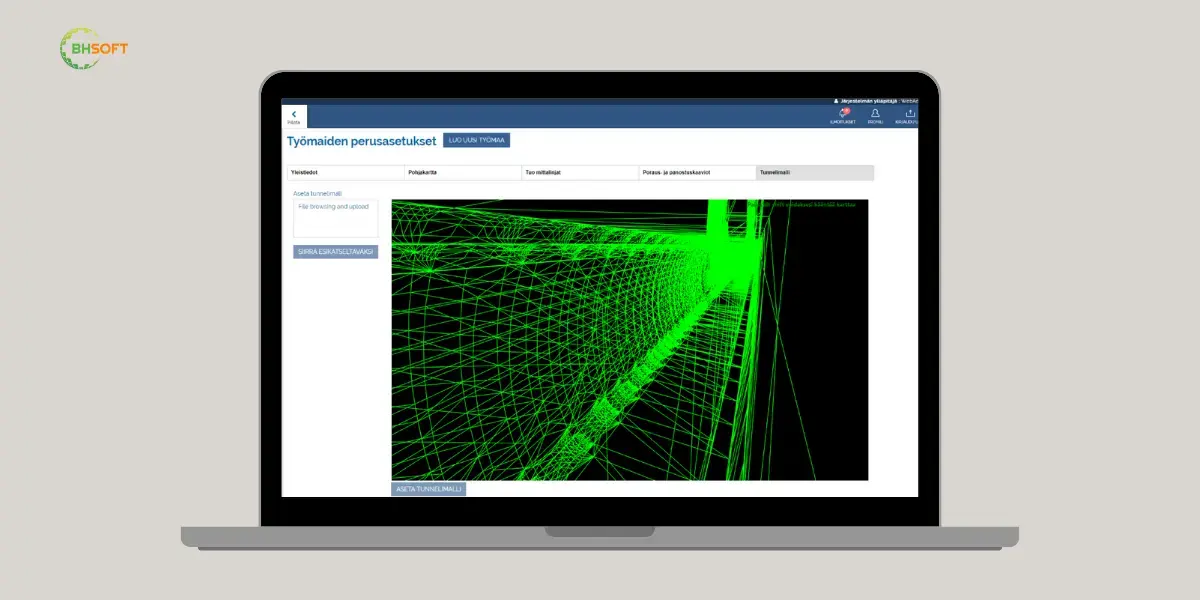
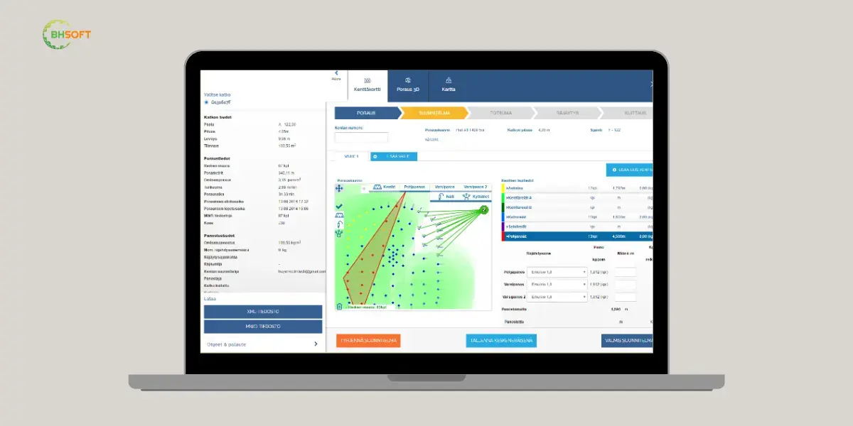
Interactive 3D visualization and BIM integration
Performance indicator visualization, including road condition metrics
BIM And GIS • RFIF Integration • Real-Time Data
Real-time monitoring of machine locations and statuses
RFID-enabled tracking of workers and equipment
Interactive 3D visualization and BIM integration
GIS-based visualization of project activities and assets
Highlights
Highlights
Business Value Delivered
Centralized visibility across construction activities, assets, and documentation
Improved coordination between inspectors, supervisors, contractors, and stakeholders
Enhanced project oversight through GIS mapping and 3D visualization
Better planning and execution of maintenance and operational activities
Stronger decision-making through integrated geospatial data
More efficient maintenance planning and prioritization
Better support for reporting and asset management activities
Faster access to infrastructure performance information
DeliveredBusiness Value
Business Value Delivered
Centralized visibility across construction activities, assets, and documentation
Improved coordination between inspectors, supervisors, contractors, and stakeholders
Enhanced project oversight through GIS mapping and 3D visualization
Better planning and execution of maintenance and operational activities
Your Dynamic Snippet will be displayed here... This message is displayed because you did not provide both a filter and a template to use.
More Work From BHSoft
Ready to build something great?
Tell us about your project! We are ready to help you design, build, and evolve the right solution for your business, operations, and long-term growth.
Let's Build with
Confidence
Whether you are modernizing operations, building digital capability, or engineering a complex software platform-BHSoft is ready to be your long-term technology partner.